Lake Ontario Project
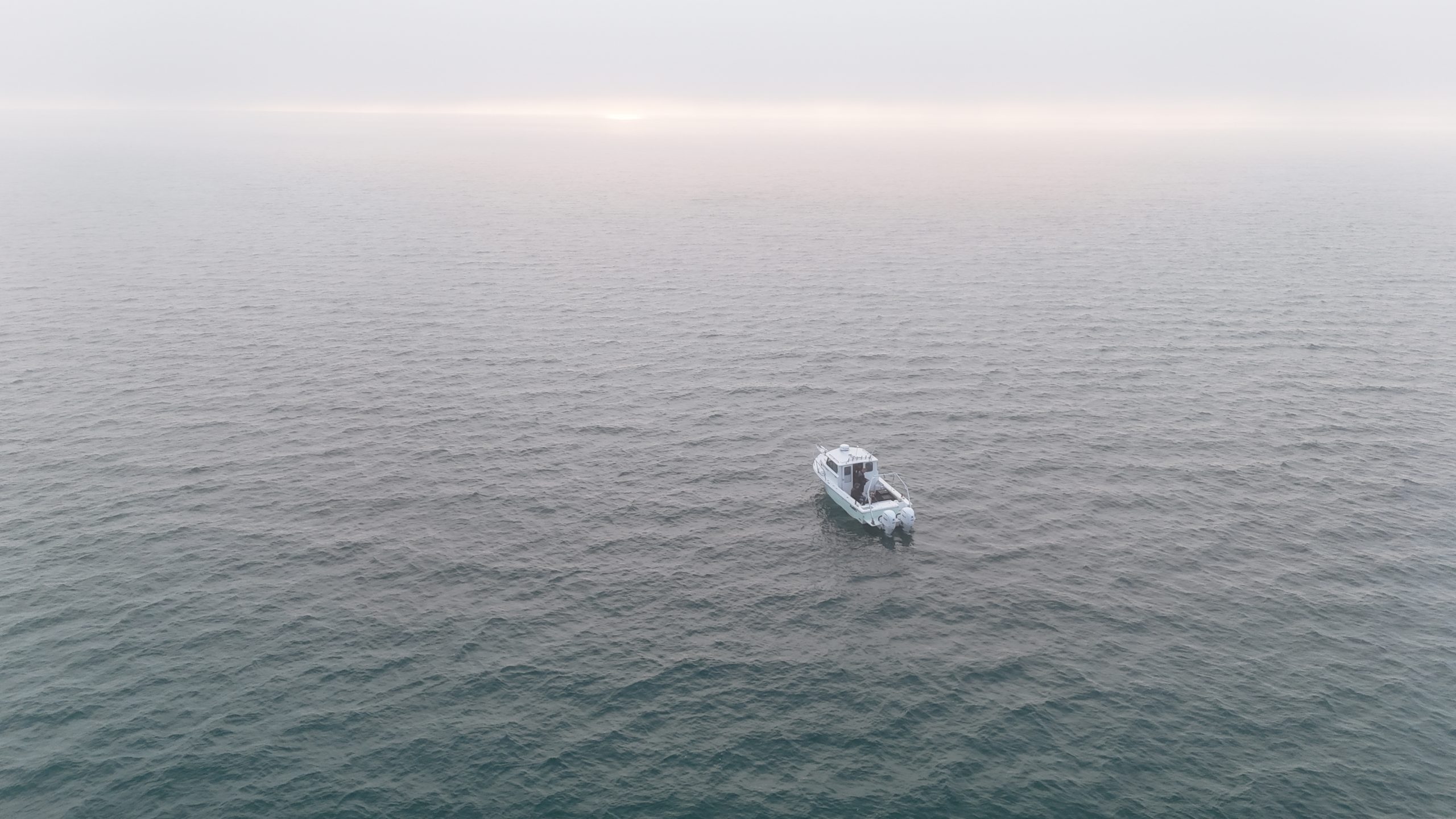
During the Summer of 2025, Exploring Our Deep World scanned a large area of the Lake outside of Irondequoit Bay and extended east towards Sodus. Much of the eastern half of the lake has been scanned by previous explorers, such as Dan Scoville. The Lake Ontario National Marine Sanctuary, located in the Eastern part of the lake, has 64 shipwrecks in it alone. These wrecks are important pieces of Great Lakes Maritime History, with some dating back to the 18th century. Future work will be extended to the deepest parts of Lake Ontario at 802 feet within the Rochester Basin.
The main tool used in data collection has been side-scan sonar. A transducer attached to the boat sends out signals into the water column, and the echoes are what create the image of the lake’s bottom. Search grids are created for the desired areas and followed to ensure there are no gaps in collected images and data.More about the equipment we use can be found here.
Data from these wrecks is used to create accurate historical reports on the ships’ histories, sinkings, and current states. Additionally, Exploring Our Deep World plans to create 3D photogrammetry models of these wrecks. 3D models will allow anyone to see what the wrecks currently look like on the bottom of the lake, making underwater exploration accessible to everyone.


