History
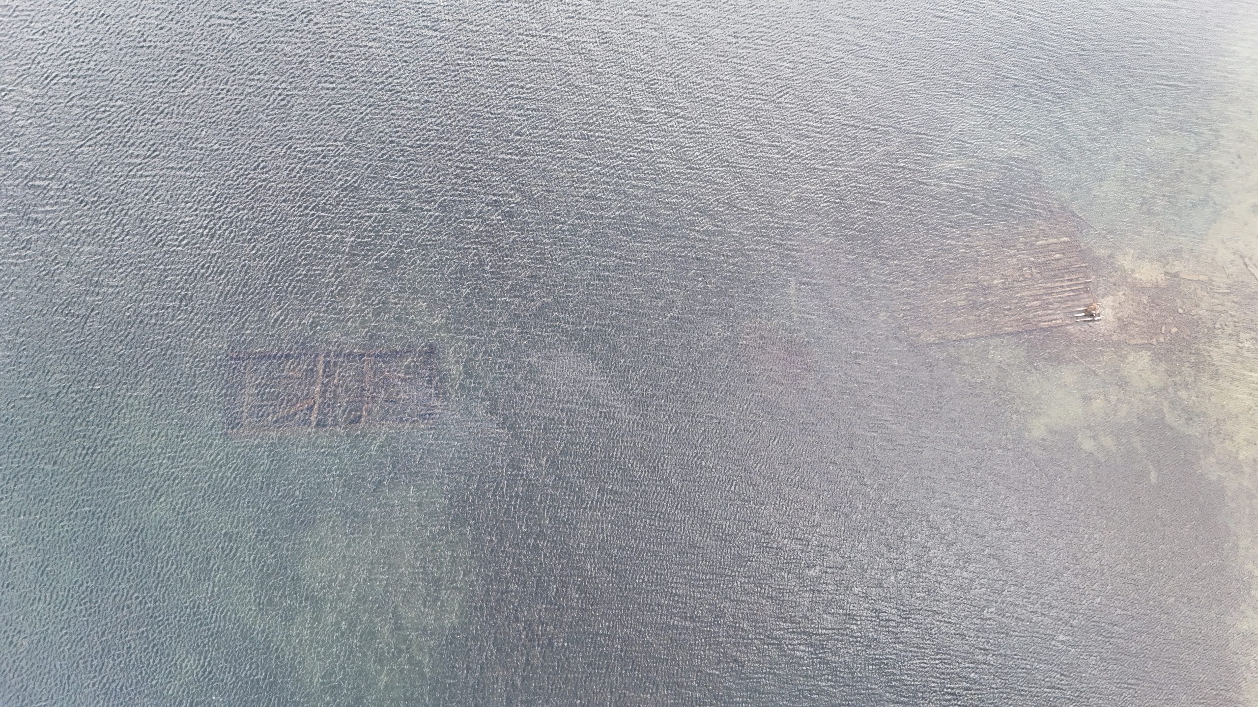
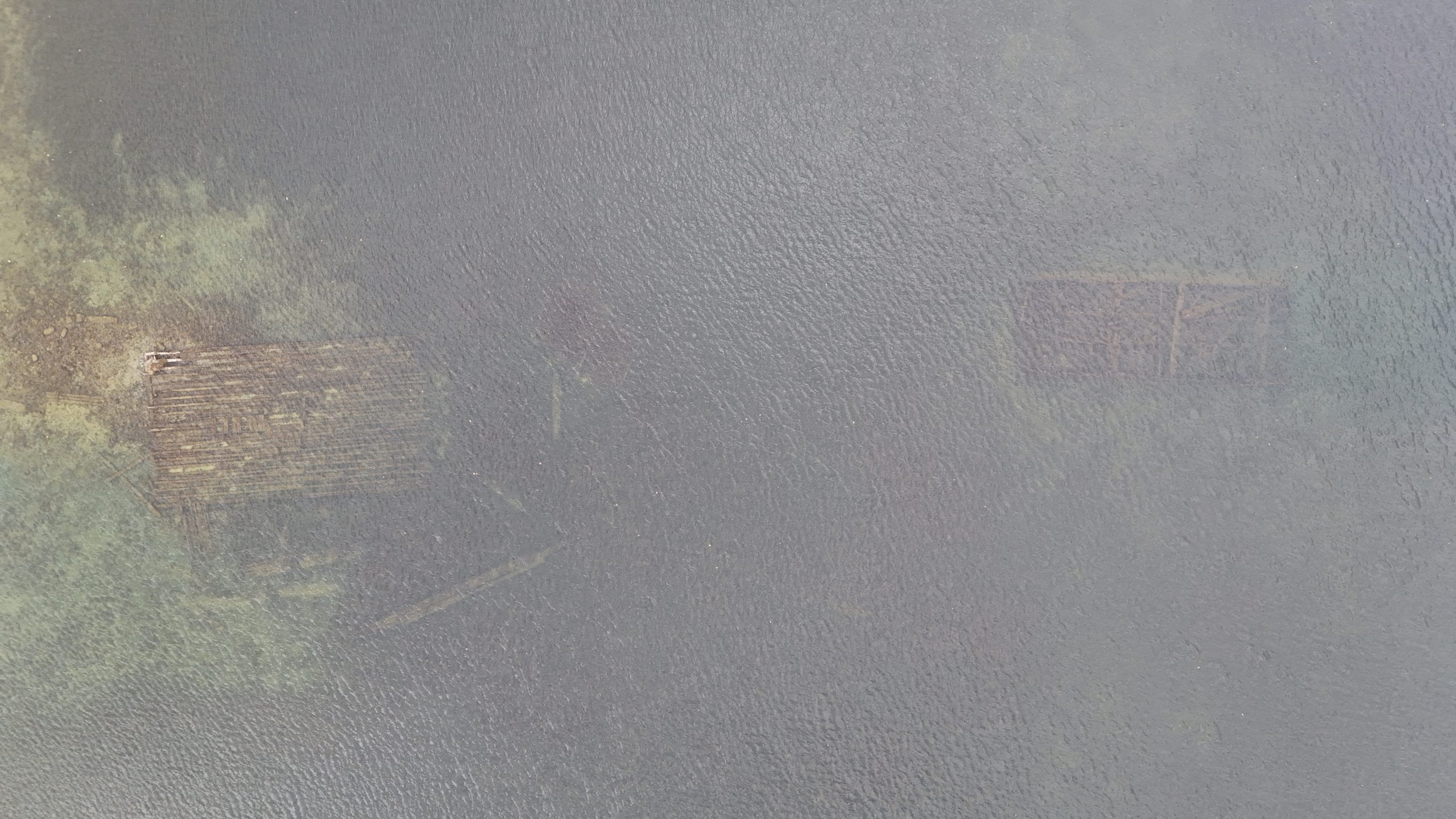
On the western shore of Sodus Bay lay two small wooden barges in shallow water. While little is known about these wrecks, one source states they were sunk by Stewart \"Stu\" Sill Sr., former owner of Sill's Marine (presently known as Katlynn's Marine).According to a comment by @Helicon on "Shipwreck World," a blog dedicated to shipwreck discovery:
"It is a barge, and it's hit every year, sometimes with very expensive results.
Following the creation of the Panama Canal the many barges- both wood and steel- used to build it were sold as surplus. At least six were purchased by Stu Sill Sr who owned a marina on the SW side of Sodus Point (2015, called Katlynn Harbor). Some of these were used to build the sheltering marina, and some still exist in good condition.
As the story goes, Stu Sill's friend informed him that he planned to build a restaurant and marina on the south shore of Sodus Bay, west of 2nd Creek. Stu didn't appreciate the competition, so he sunk the barge off the proposed location to interfere with boat traffic.
True or not, it certainly does interfere with boat traffic! It has a steel top structure and bollard which eat fiberglass. Depending on time of year it is between 3 feet and 6 feet below the surface


